Bookmark this post. It will be updated throughout the day.
July 7
The Flood Watch is back on through 7 p.m. Monday, July 7.
There remains a threat of flash flooding from slow moving heavy rains overnight and through the day on Monday somewhere over the watch area, which includes Caldwell County and much of Central Texas.
Two to four inches of additional rainfall, with isolated amounts up to 10 inches, could fall anywhere over the watch area. Rainfall rates will be very intense in the heaviest showers and storms.
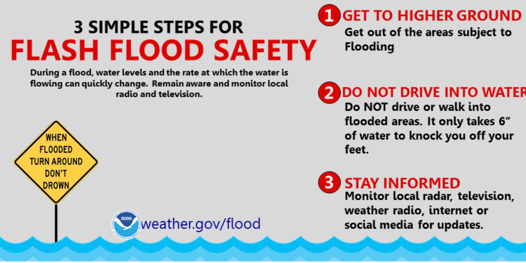
Any additional heavy rainfall over hardest hit areas of the past few days will lead to rapid runoff and flash flooding. The public is advised to stay weather aware and to look out for potential flash flood warnings.
If you encounter high water while driving today, remember: Turn around, don't drown.